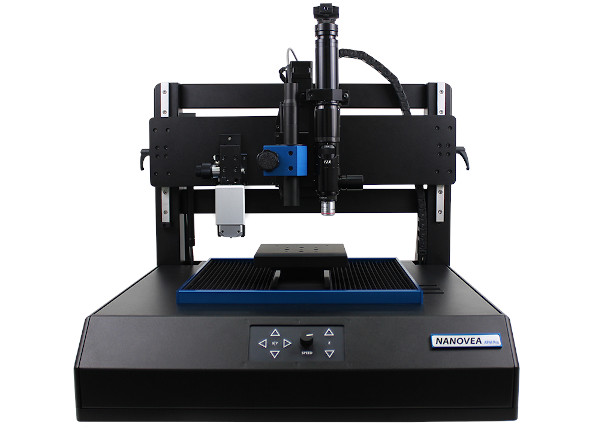
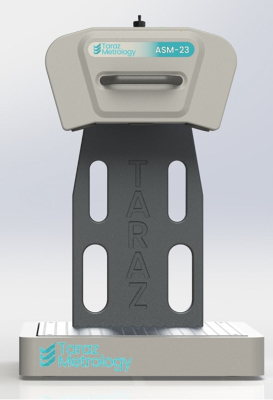
Taraz’s first fringe projection system was the IM 1 developed in 2019. This system was developed as a solution to in-process and post-process metrology inspections for additive manufacturing applications.
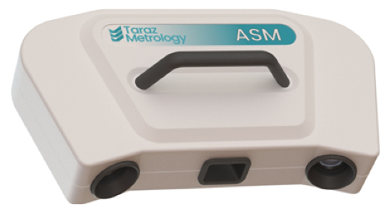
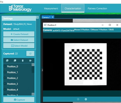
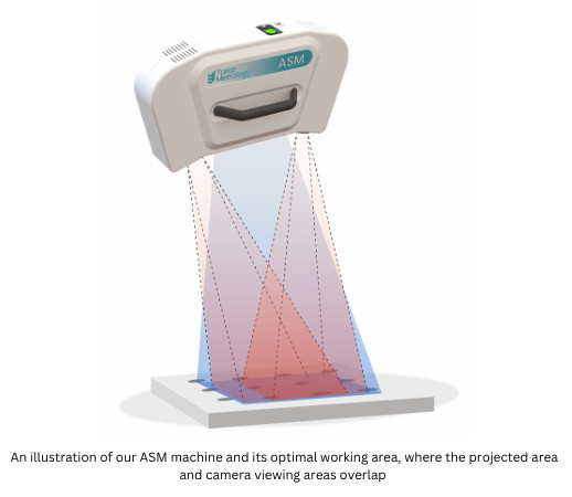
The Taraz ASM fringe protection system works as follows:
1) Projecting the pattern
The process begins with a high-precision projector casting a specific pattern onto the object being measured. This pattern, composed of a series of fringe lines, is critical for capturing the object’s surface details with accuracy.
2) Capturing the images
As the pattern is projected, a specialised set of cameras simultaneously captures multiple images of the object. Each image, made up of a fine array of pixels, encodes the fringe patterns projected onto the surface, providing comprehensive data for analysis.
3) Analysing and measuring
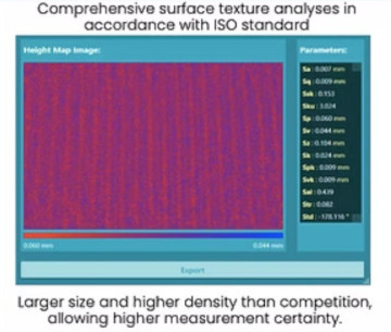
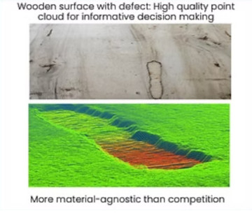
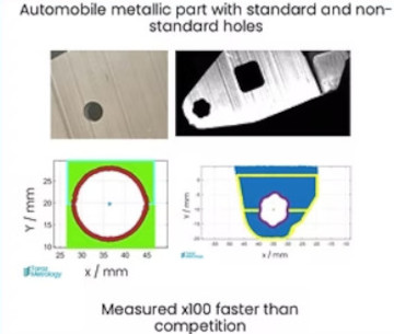
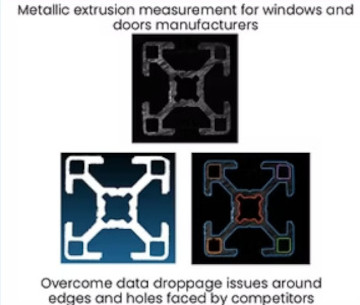
Finally, the captured images are processed by advanced software that uses triangulation techniques to determine the exact shape of the object. The result is a set of highly accurate and universal point clouds, revealing the intricate surface characteristics in fine detail. This includes better definition around the edges and more refined hole boundaries, contributing to the overall precision of the measurement.
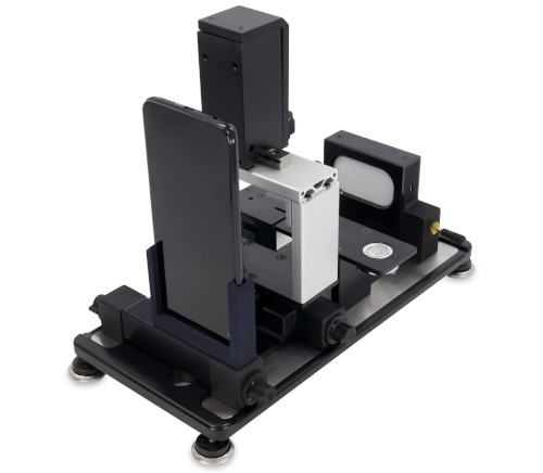
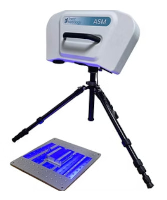
The Taraz ASM system is also powered by Photogrammetry, offering precise measurement and analysis by capturing images of objects from multiple perspectives. This method allows for accurate three-dimensional reconstructions, ensuring high-quality 3D measurements with exceptional precision. By utilising advanced geometric calculations, their system can deduce the exact position and dimensions of objects in three-dimensional space.
|
1) Capturing Multiple Perspectives The process begins by recording images of the object from different angles using either multiple cameras or by repositioning a single camera. Each view focuses on specific features of the object, capturing essential details from various perspectives. |
 |
 |
2) Geometric Analysis Once the images are captured, our system uses sophisticated algorithms to evaluate the distances between cameras and specific points of interest on the object. Through precise geometric calculations, the exact position of each point is determined. |
|
3) 3D Reconstruction Finally, the analysed data is used to reconstruct a detailed and accurate three-dimensional representation of the object. This 3D model provides a comprehensive view, allowing for precise measurements and in-depth analysis. |
 |